
Emergency management signs
Evacuation routes, closed areas and traffic control points.
Pictures and official names only. A design here is not proof that the sign is used or required in your state; for explanations, start with the sign guide.
15 designs
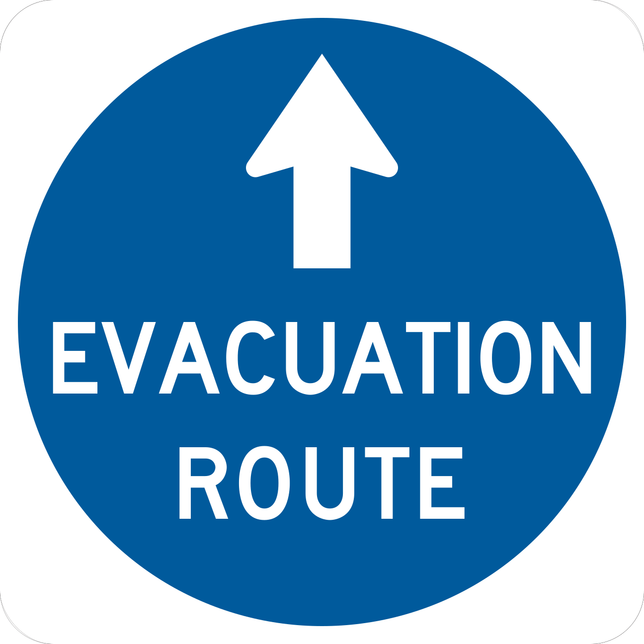
EM1-1Evacuation Route 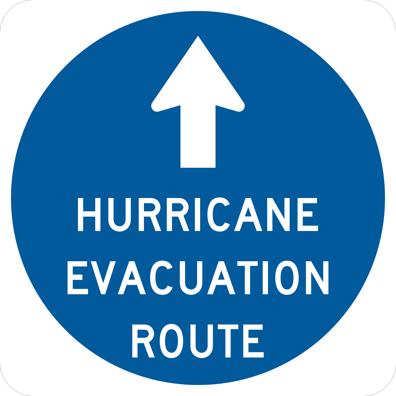
EM1-1aEvacuation Route - Hurricane 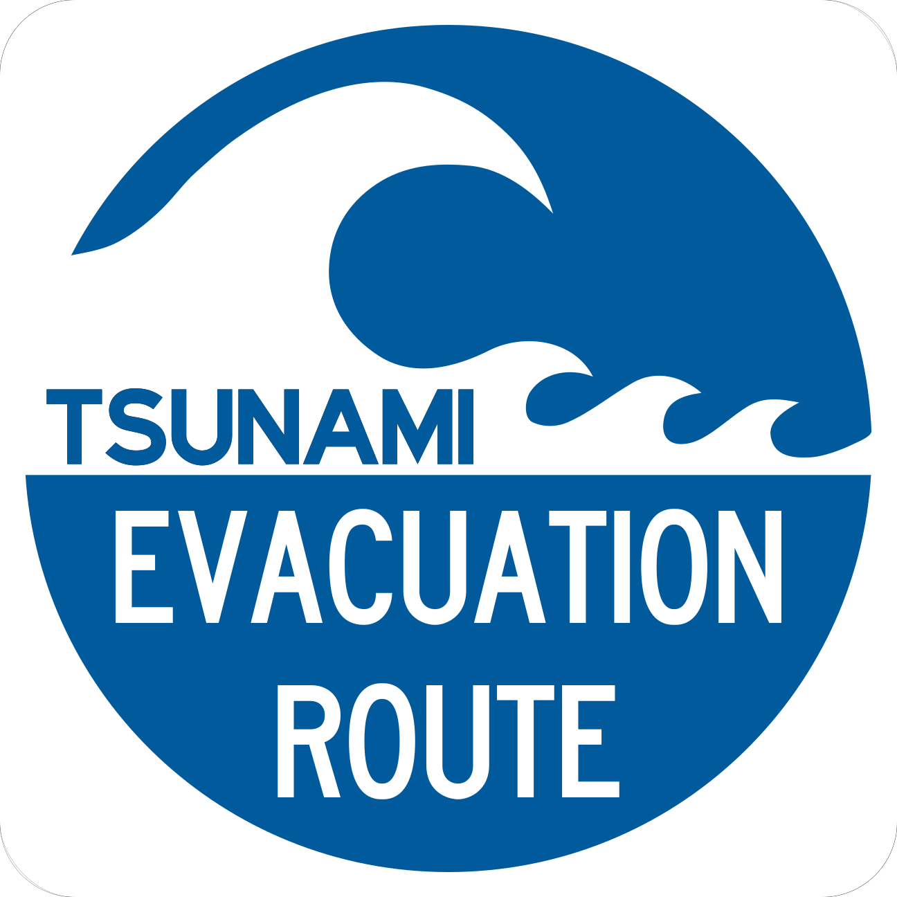
EM1-2Evacuation Route - Tsunami 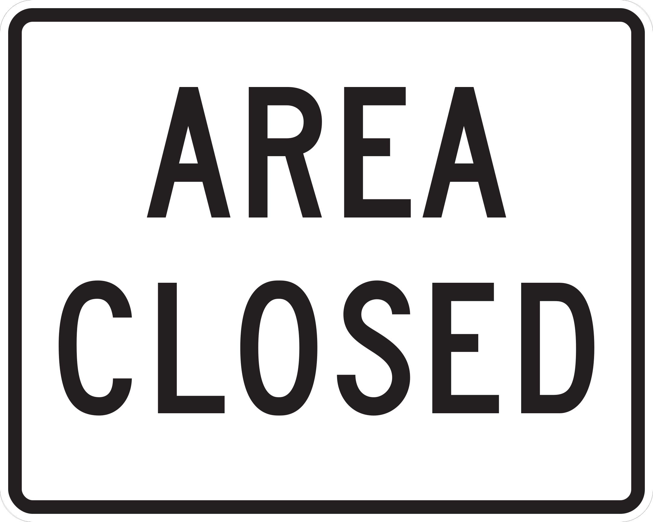
EM2-1Area Closed 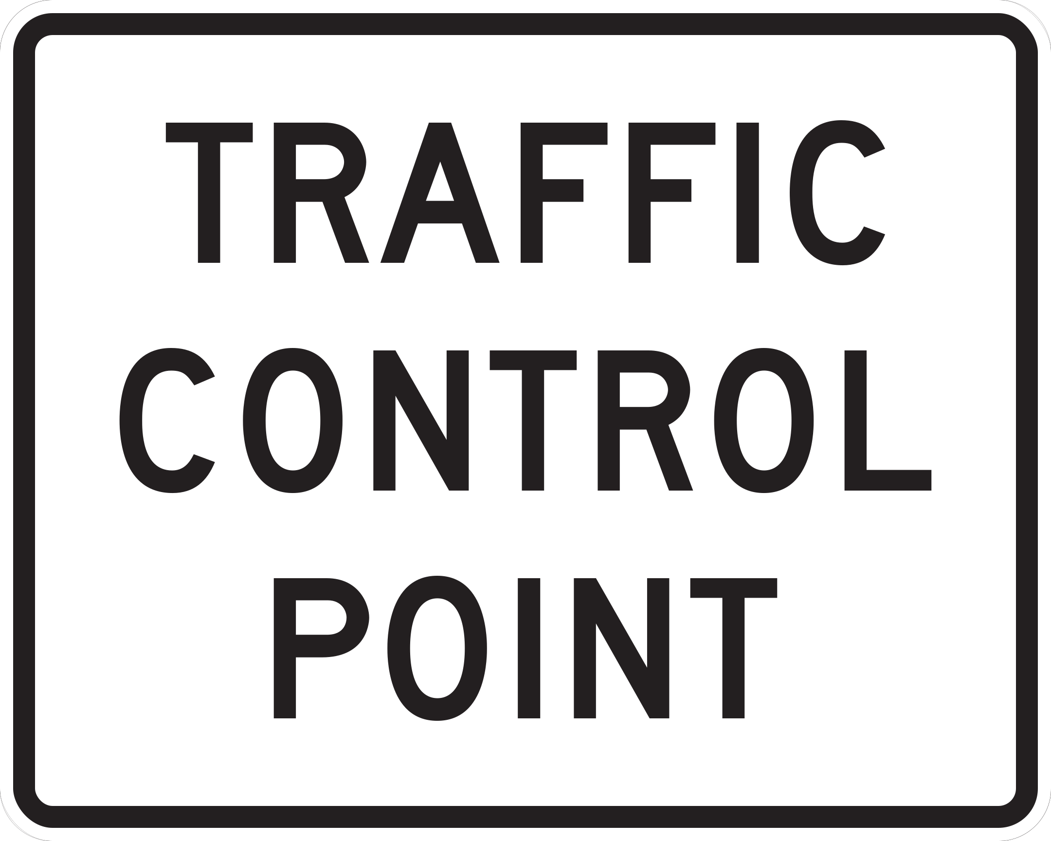
EM2-2Traffic Control Point 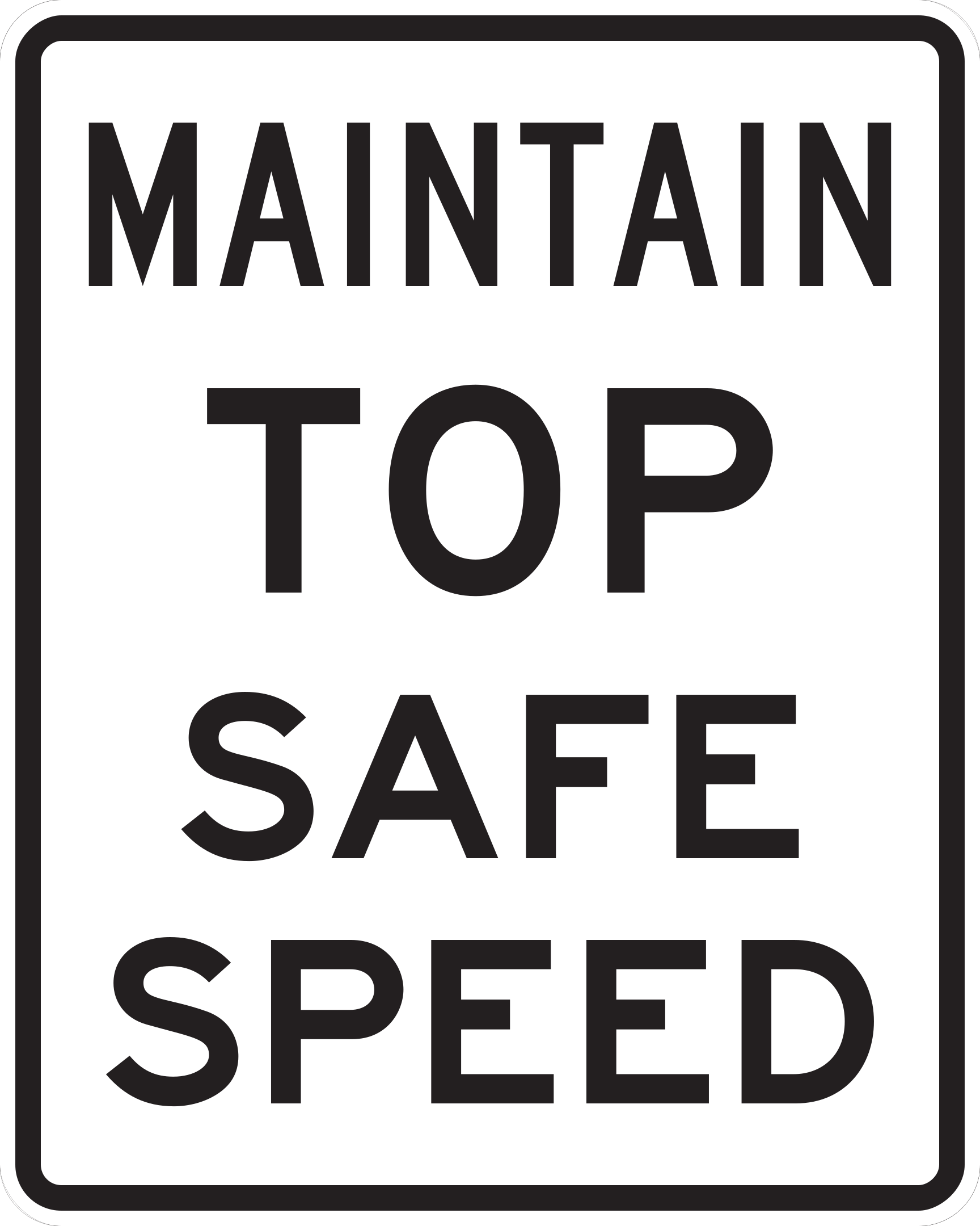
EM2-3Maintain Top Safe Speed 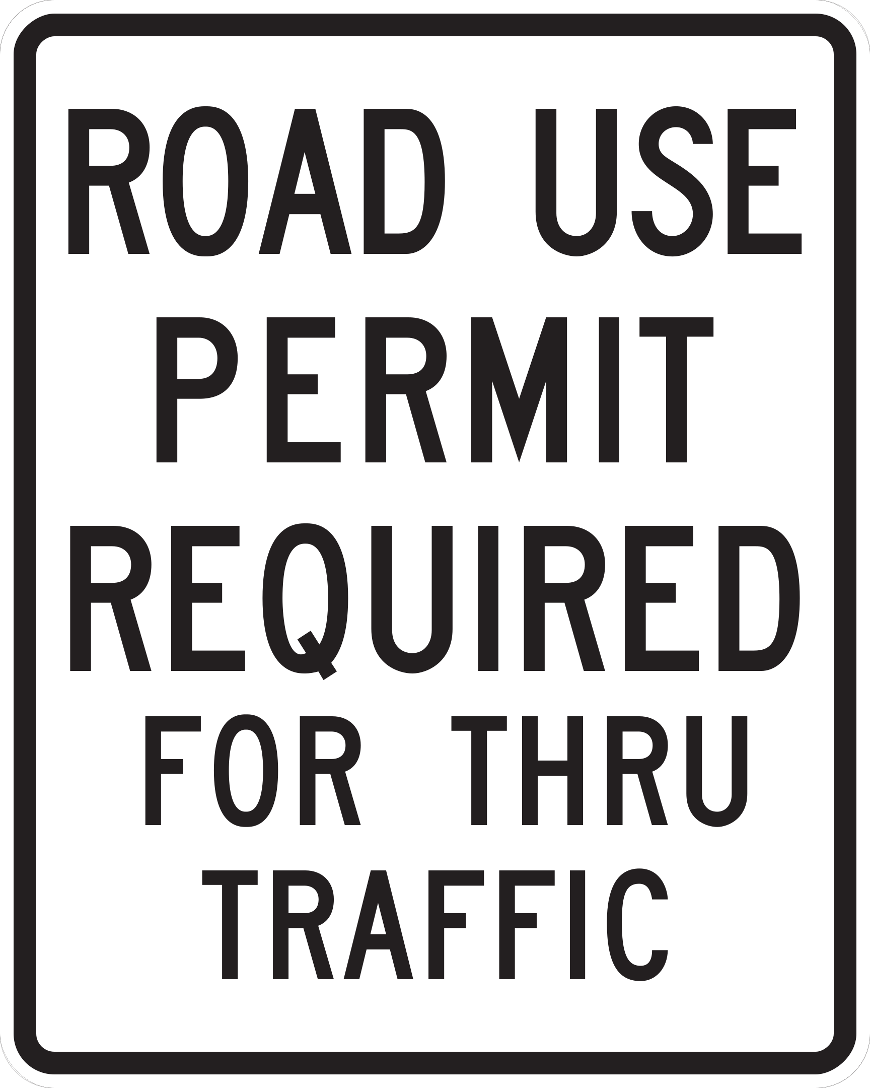
EM2-4Permit Required 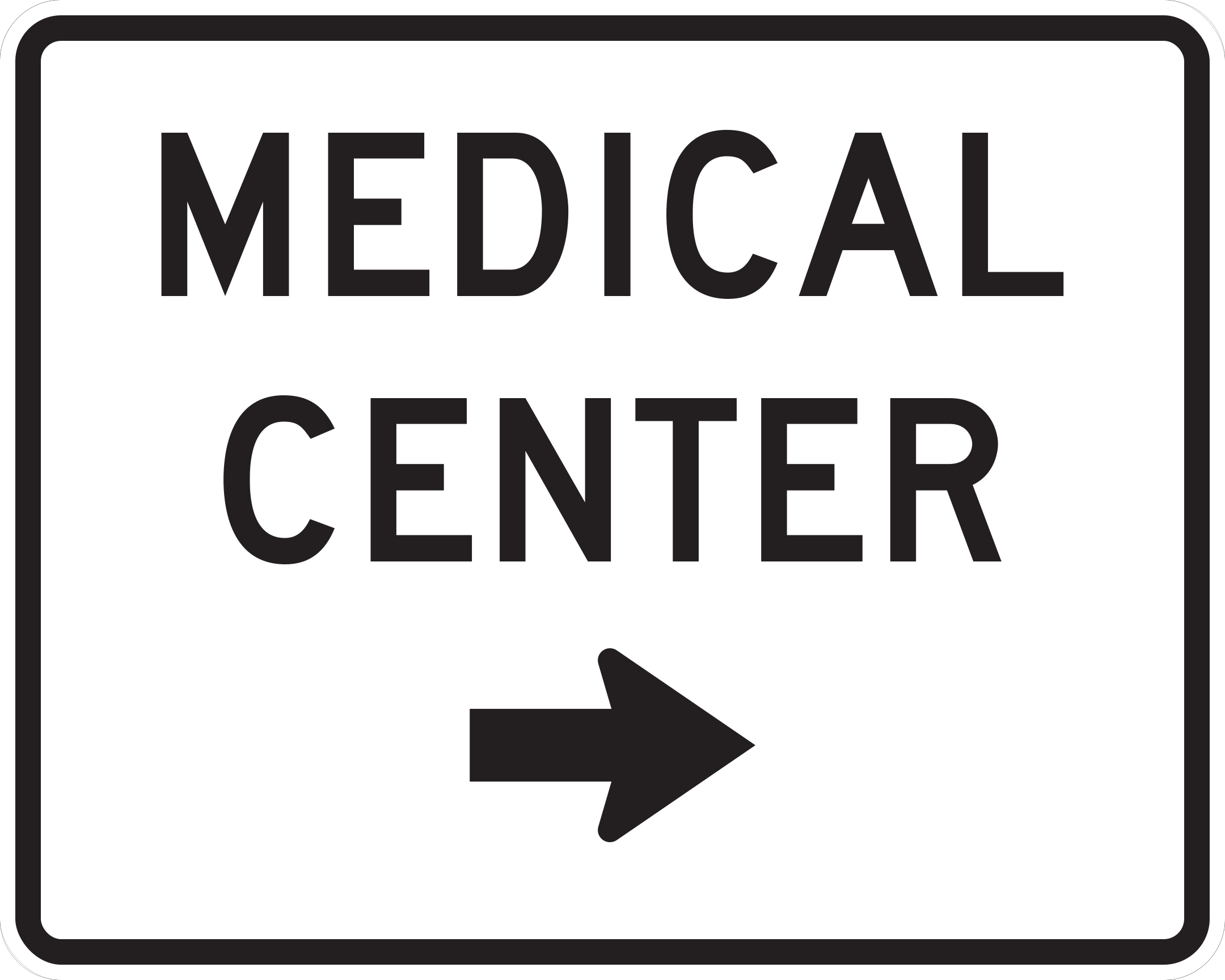
EM3-1Emergency Aid Center - Medical 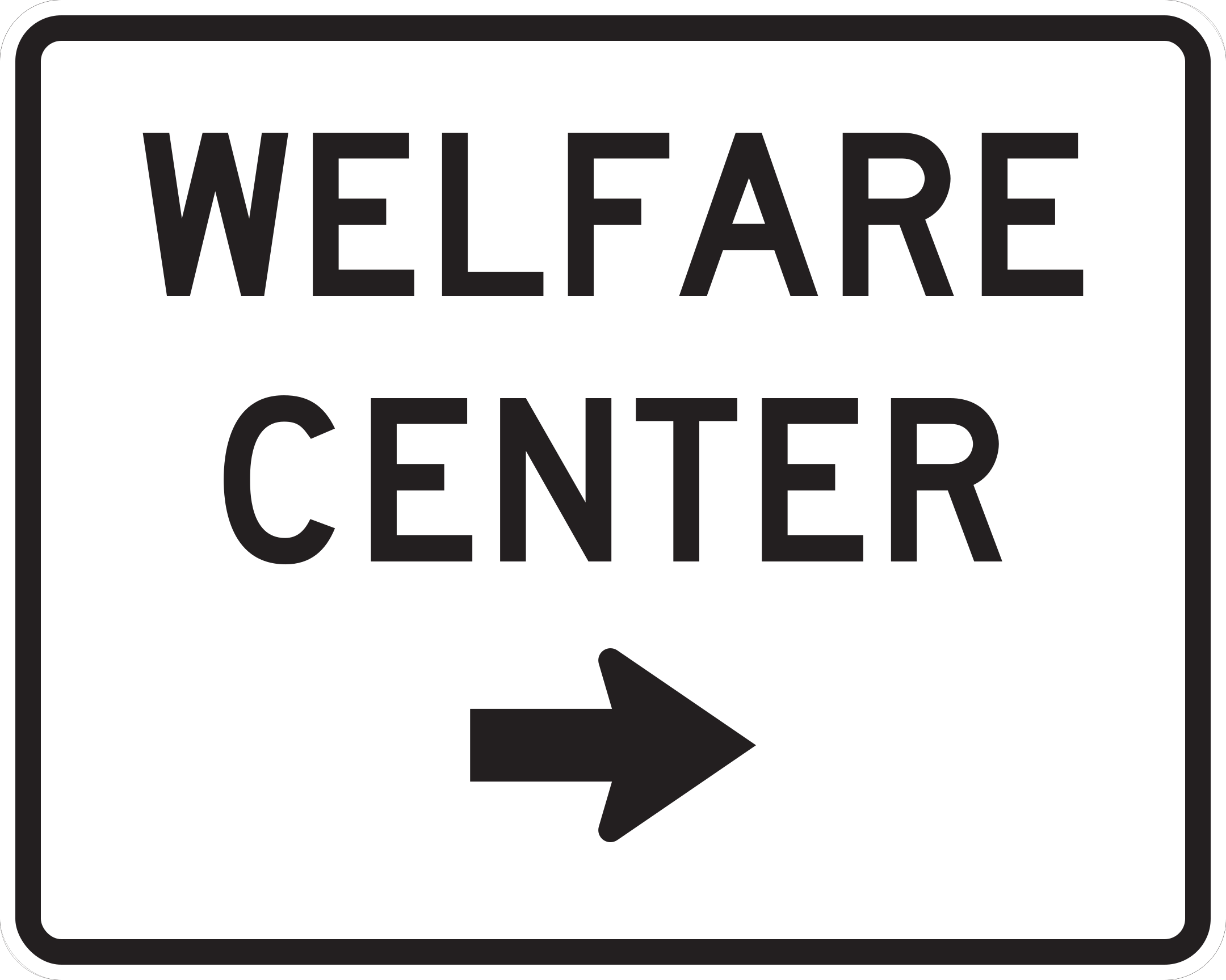
EM3-1aEmergency Aid Center - Welfare 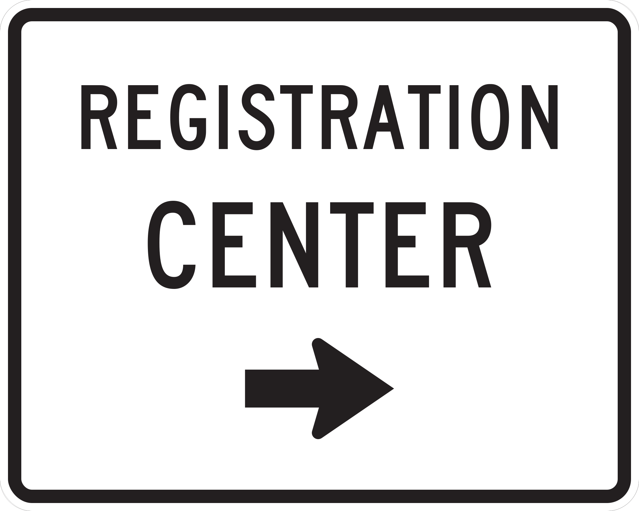
EM3-1bEmergency Aid Center - Registration 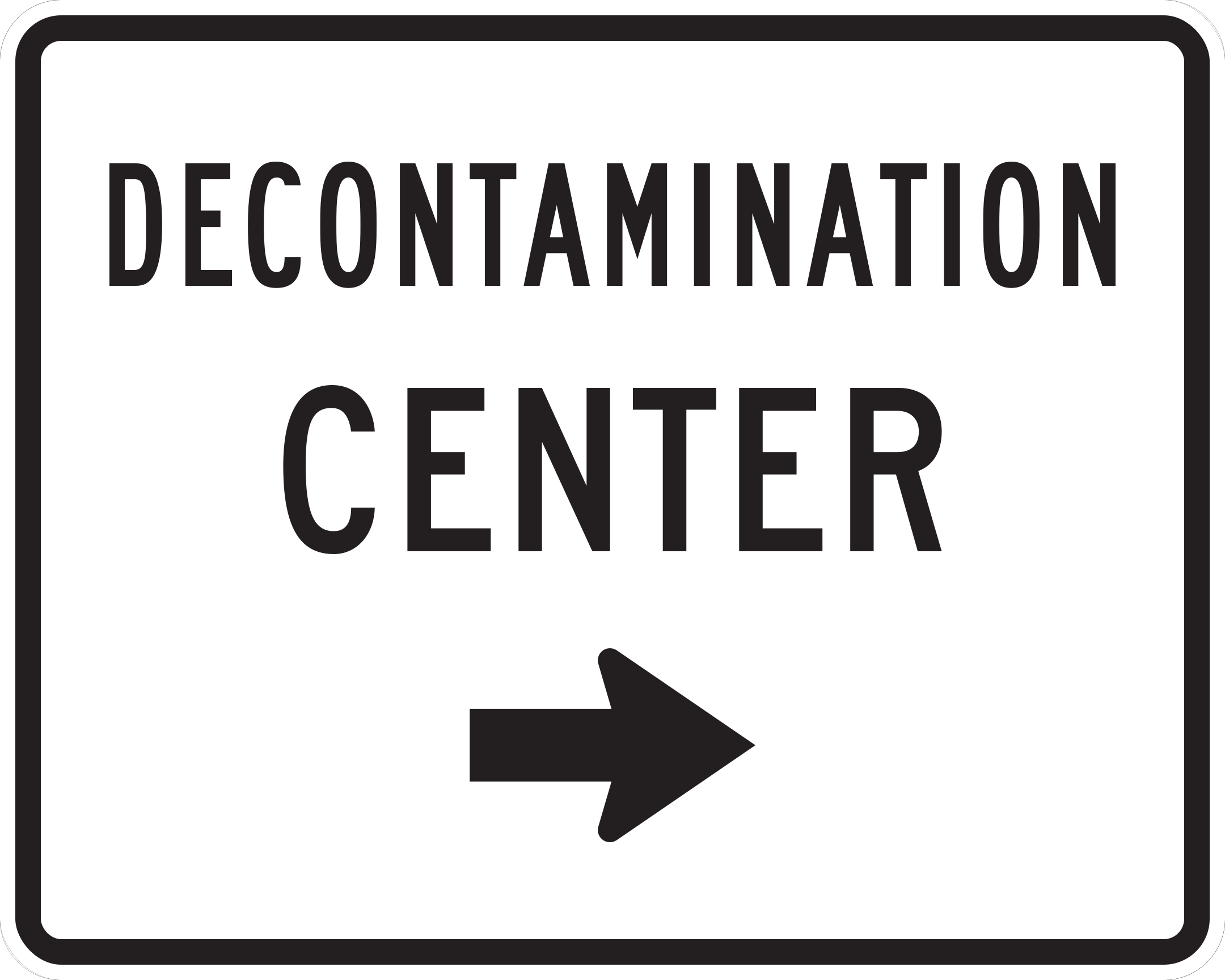
EM3-1cEmergency Aid Center - Decontamination 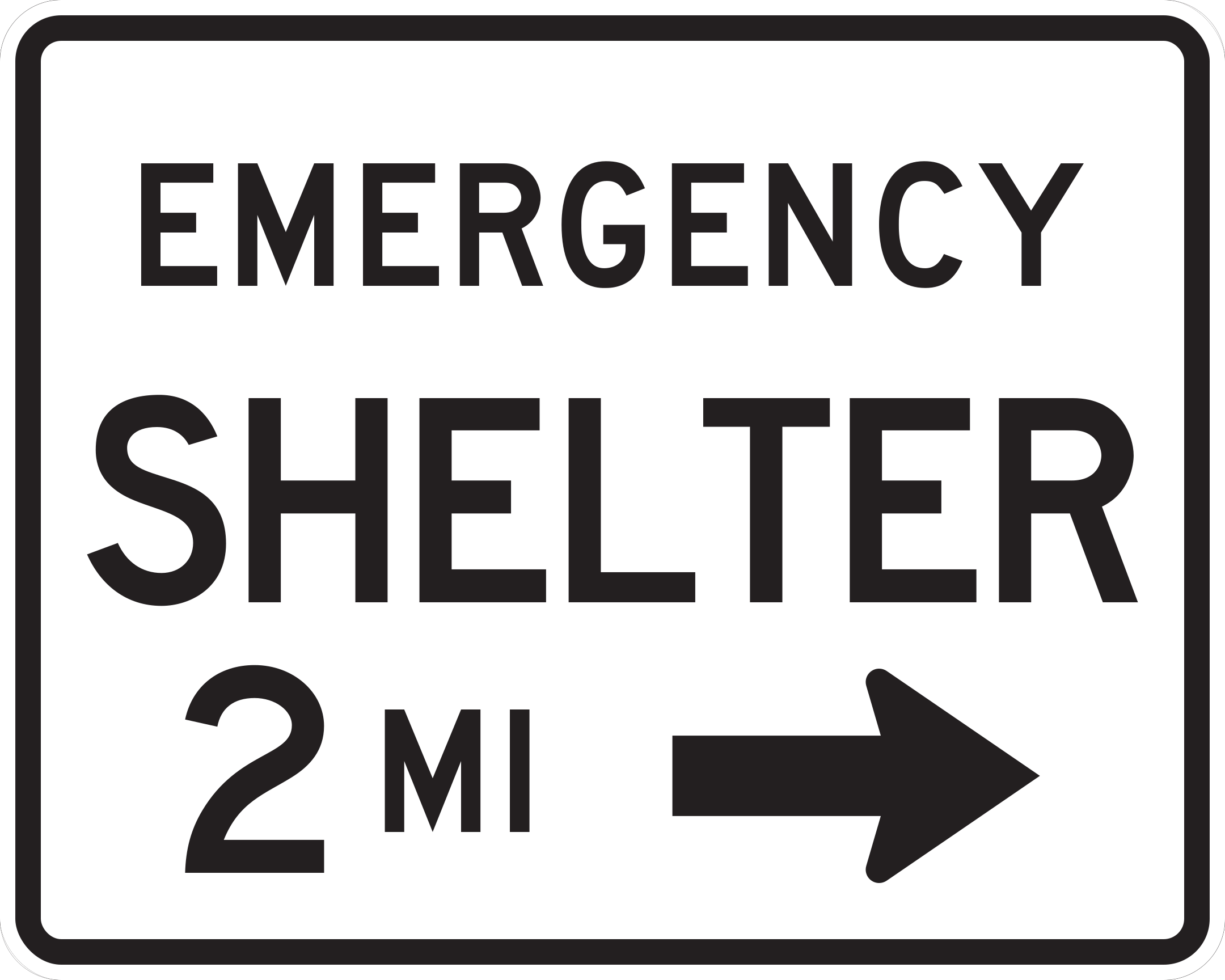
EM4-1Shelter Directional - Emergency 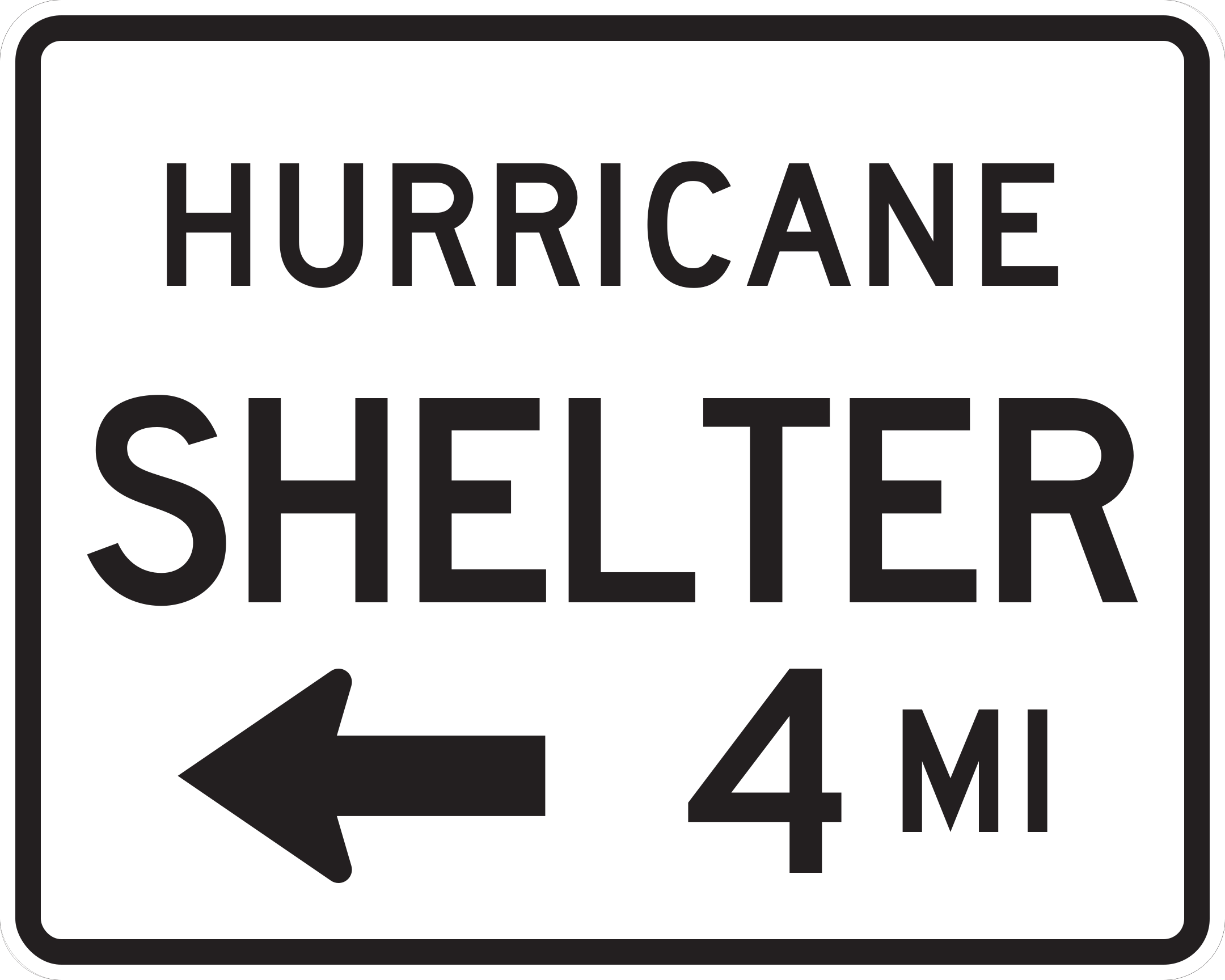
EM4-1aShelter Directional - Hurricane 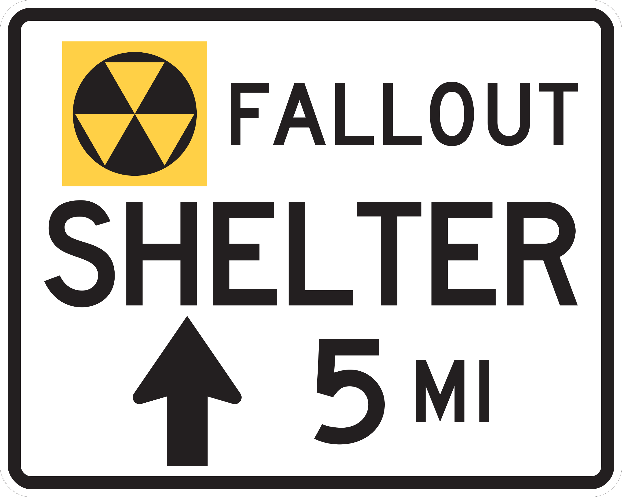
EM4-1bShelter Directional - Fallout 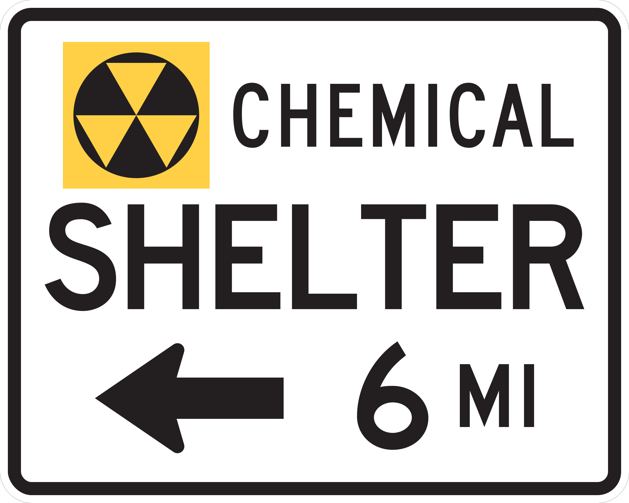
EM4-1cShelter Directional - Chemical
Sources & scope
Public-domain vector artwork from the FHWA Standard Highway Signs, with designs from Virginia’s supplement marked separately. Some designs show placeholder text or numbers. State coverage is incomplete; use your state handbook and the signs on the road for the rules that apply to you.